Route Planning
There’s reassurance in following a route that other walkers or cyclists have tried and tested. Many websites provide routes that have been uploaded by users, but often it’s not clear what the route is really like and how difficult it is.
Some cycle routes have been plotted automatically and may use busy roads that you wouldn’t dream of taking your children on. All the cycle routes in the Goring Gap Active Travel Library have been ridden and recorded by members of the Goring Gromils, an informal group of friends who enjoy cycling together. Apart from the fitness, shopping and commuting routes, they all include cafe stops, something considered essential by many leisure cyclists. That said, it can also be fun to plan your own rides.
Paper Maps
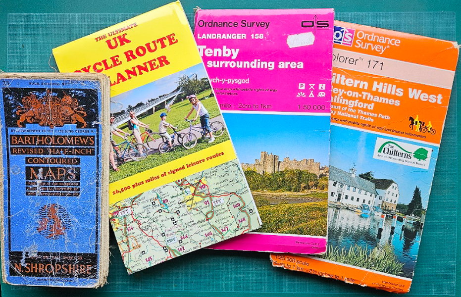
The traditional way to plan walking or cycling routes was with the aid of a paper map, using pins and a piece of string to measure distances. There’s still a lot to be said for spreading out a map to get the big picture, particularly when planning a multi-day tour.
The 1:25,000 Ordnance Survey Explorer maps are best for walking. They show too much detail and cover too small an area for planning bike trips.
The 1:50,000 Ordnance Survey Landranger maps are good for navigational use when cycling, although for a week’s touring you may need multiple sheets.
Guide Books
There are numerous books describing walks in an around the Thames Valley, some available from local shops.
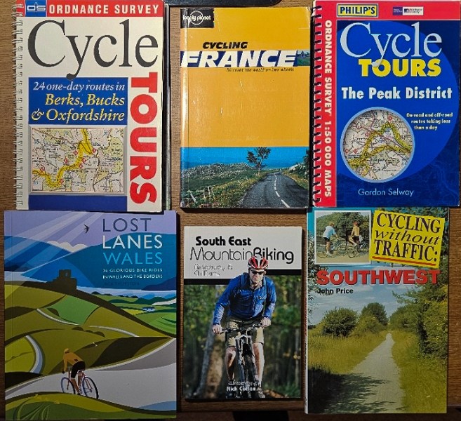
Cycling guide books generally contain a number of routes in the area covered by the book, with pictures and detailed descriptions. They are particularly useful when planning tours in an areas you’ve not been to before. The Lost Lanes series is beautifully produced, well written and makes great winter armchair reading to inspire you for future trips.
Modern editions frequently come with access to a website where you can download the routes in gpx format.
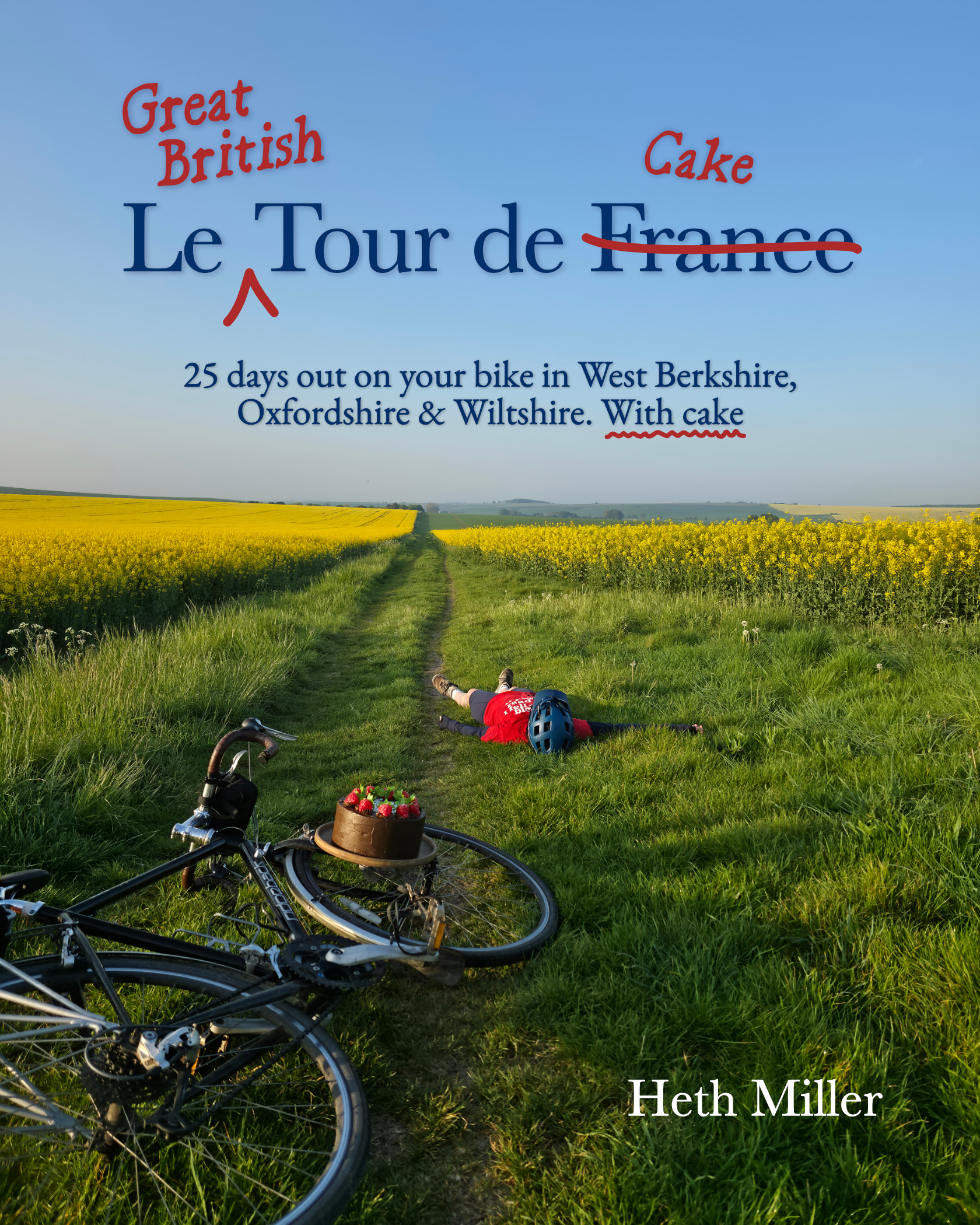
Le Great British Tour de Cake
It’s not just the 25 cycle tours in West Berkshire, Oxfordshire and Wiltshire that make this a must buy for enjoying cycling around the Goring gap. It’s the details of 68 independent coffee and cake stops in the area, with mouth-watering photos of their scrummy produce.
Written by local cyclist and cake-eating expert Heth Miller, Le Great British Tour de Cake is available at the Heth Goes Biking website.
Although aimed at cyclists, the cafes listed in the book also make great places for visit on local walks.
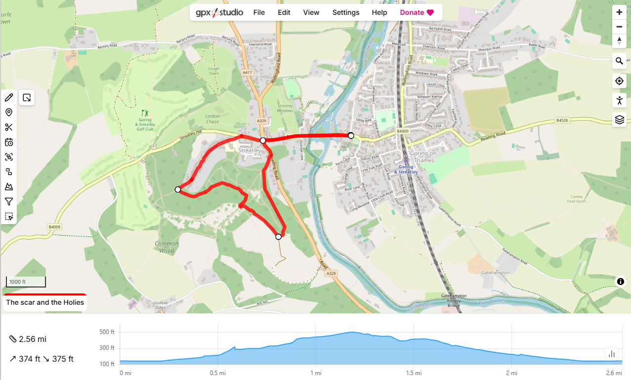
gpx.studio
Although it self-identifies as an app, gpx.studio is actually a website. It works best on a PC or tablet with a larger screen than a phone, and is excellent for plotting or editing routes. When plotting, it can automatically trace routes along paths, bridleways or roads. Once the route has been plotted, it can be saved as a GPX file and downloaded to a phone or other navigation device. It also has other useful features such as storing multiple routes in a single file, or merging or splitting routes – and it’s all completely free!
GPX is explained in more detail on the Going Digital page.
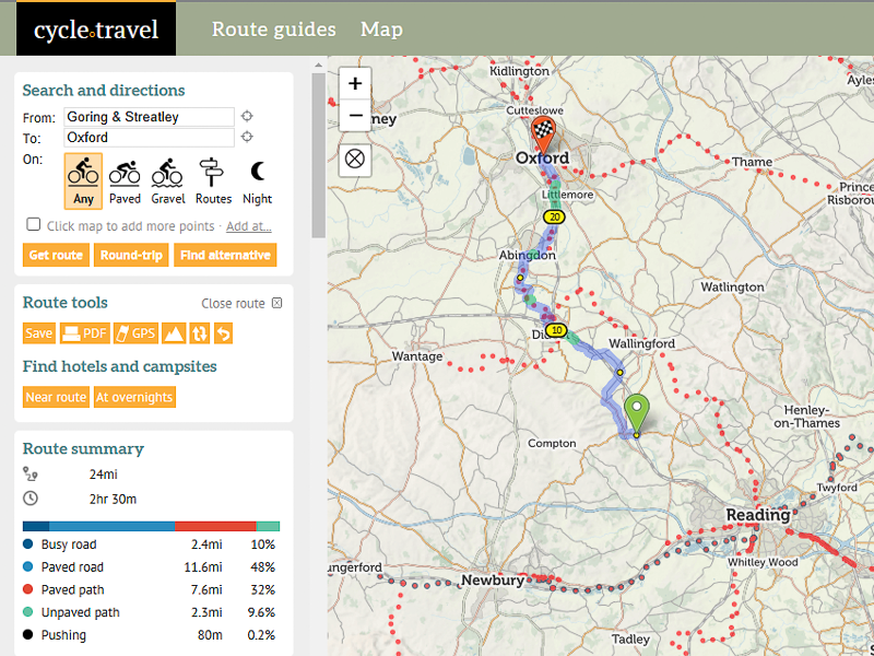
cycle.travel
One of the best electronic resources for planning your own cycle routes is the cycle.travel website. This can suggest a route for you from A to B, or suggest circular day rides or multi-day tours from your chosen starting point. Once you have selected a route it will give you detailed turn-by-turn instructions. You can save the route and instructions to a cycle.travel account (free) and use the cycle.travel mobile app on your smartphone, or download the route via Garmin Connect or as a GPX track file. Think of it like Google Maps for cyclists – only better.
Garmin Connect (GC) is a platform for storing routes, activities and health data across the Garmin product range. Tools within GC allow you to analyse and share this information with other users.
GPX is explained in more detail on the Going Digital page.
The Goring Gap Cycling Map
You can use the Map page to see all the mapped routes in the local area, including the following features:
- Categorised climbs – yellow, orange and red. Red means steeper than 10% and longer than a quarter of a mile, so we’re not talking Tour de France categories here!
- Bike shops
- Cafes (very important)
- Type of ride: Hybrid, Mountain Bike or Road
- Railway stations, with links to their facilities and timetables
Traffic-free Routes
When planning your own routes, it can be difficult to know in advance how busy a road is, or which bridleways are muddy or overgrown. The cycle.travel website/app and the Oxfordshire Online Cycling Map are both quite useful in this respect.
One of the great things about cycling in and around the Goring Gap is the number of traffic-free routes with a decent surface that makes them usable all-year. There may only be a few formal cycle paths, but there are a surprising number of other routes, typically where a bridleway has been surfaced to serve the local farm. In some cases, the farm road is actually on the course of a footpath, not a bridleway, but if the public has been using it freely for at least 20 years there is a presumed right-of-way (Section 30 of Highways Act 1980). Some of these useful links are highlighted in the Traffic-free Routes Map