Ridgeway Traffic Count
What we’re doing and why
Currently no one has a good idea of how many cyclists and walkers use this part of the Ridgeway, though we suspect it is much higher than has been reported in the past. Many of the people using the route will continue on to (or have come from) Streatley Youth Hostel or Goring High Street with its shops, pubs and cafes and The Ridgeway, Thames Path, King Alfred’s Way or Royal Chilterns Way on the east side of the Thames. The results of the survey should give an insight into the economic benefit Ridgeway users bring to the villages.
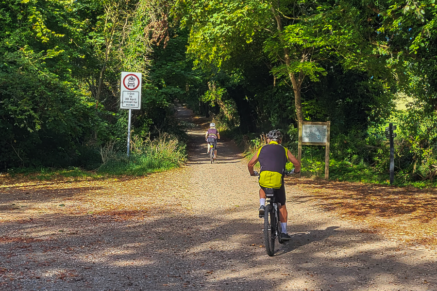
The plan is to count the number of cyclists and walkers in each direction at the bottom of the unsurfaced Ridgeway at the end of Rectory Road in Streatley. The count will take place on one each of a Saturday, Sunday and a weekday during the summer school holidays, to give an idea of the peak usage of the trail (other than that on special events).
The data from the three survey days will be written up into a report that will be passed on to Oxfordshire County Council as input to their forthcoming Local Cycling and Walking Infrastructure Plan (LCWIP) for the Goring Gap area. Wallingford already has an LCWIP, and Henley’s is currently in preparation, so this one will literally fill the Gap!
We are also planning to write a summary report to be published in the Goring Gap News.
Goring Gap Active Travel
Goring Gap Active Travel is a community organisation founded in March 2026 promoting and supporting active travel throughout Goring, Streatley and the surrounding area. We work with local residents, councils and partner organisations to improve opportunities for everyday walking, wheeling and cycling.
Anyone can join the Goring Gap Active Travel mailing list to learn more about what we do and find opportunities to get involved. We do not charge a membership fee, but we are more than happy to receive donations. In both cases, scan the QR code, then follow the links to join the mailing list and/or make a donation.